GIS Vision
It is the vision of the ITD/GIS team to work with County departments to ensure that the value of GIS technology is understood and is used appropriately. GIS works to develop valid geographic analysis and research methods to benefit the decision making processes throughout the County, which will result in the improvement of the health, safety, and quality of life of its citizens.
Strategies:
- Acquire and maintain annual aerial imagery in various formats and data types of the County’s populated areas and landscapes for use by its customers.
- Maintain a skilled and experienced GIS work unit with a high level of expertise in GIS technology while taking advantage of technological improvements using ESRI, Google and other software environments.
- Use geographic concepts, principles and methods to analyze research and support County departmental activities.
- Create collaborations with others of similar desires to share the cost of the aerial imagery acquisition or GIS product development.
- Guide County departments and others in the appropriate and efficient use of GIS tools and data.
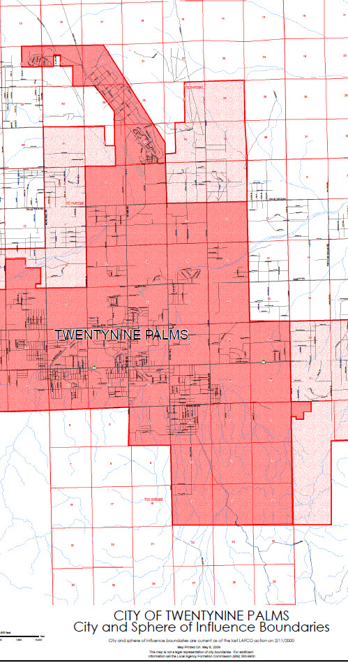
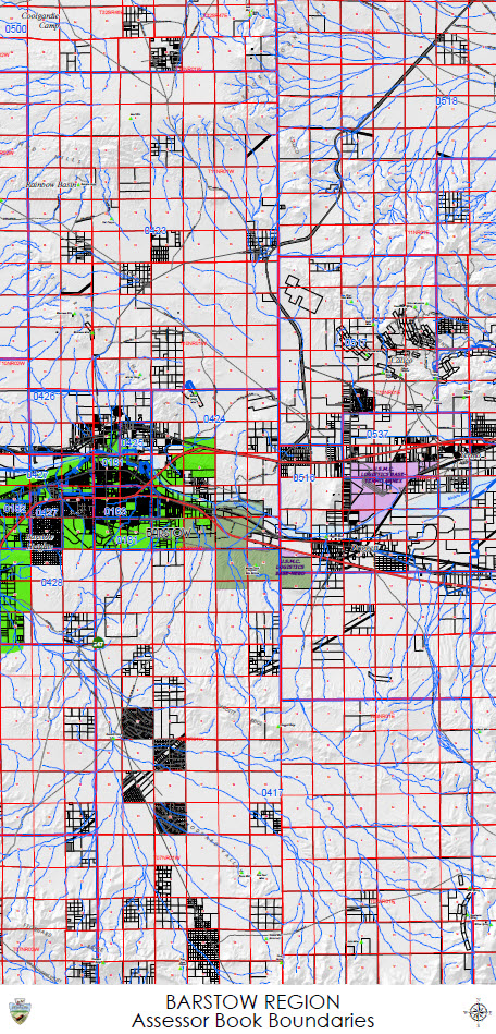
- Create electronic and hard copy cartographic products that meet County business requirements.
- Build support for the use of GIS by developing clear examples to benefit the county Departments and others by communicating and marketing these GIS technologies.

